
Last updated 07-23-2026
Category:
Reviews:
Join thousands of AI enthusiasts in the World of AI!
Satlas
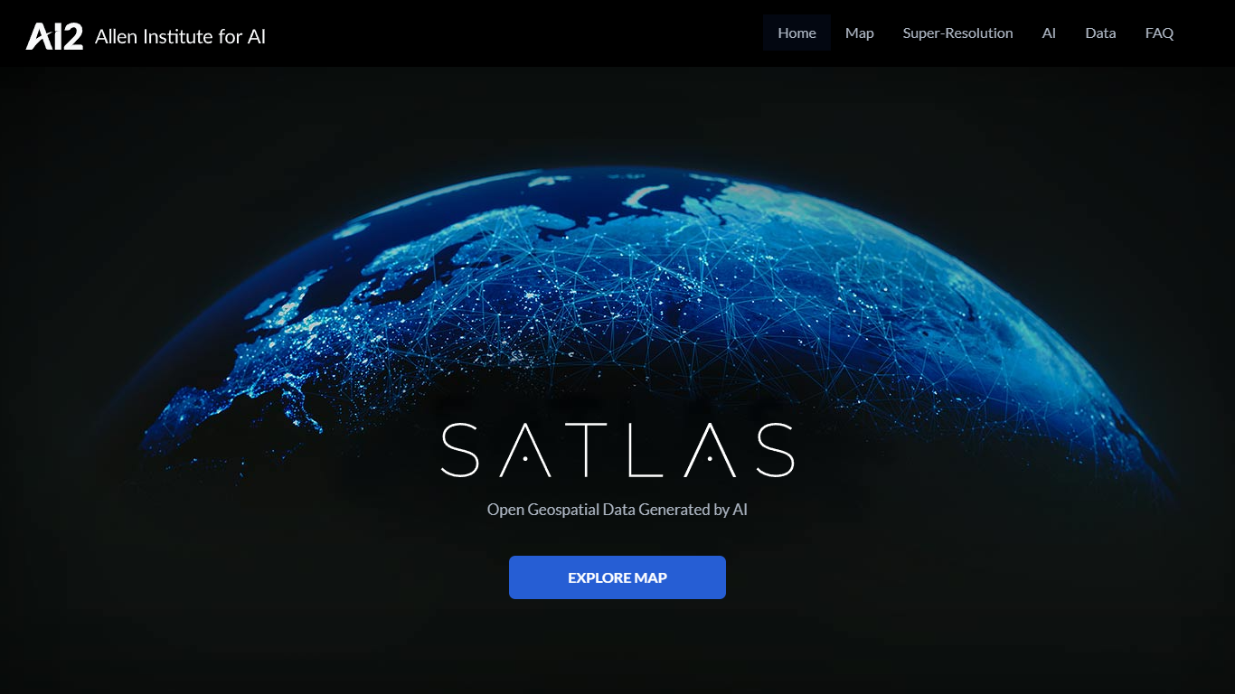
Satlas is an open geospatial platform from the Allen Institute for AI (Ai2) that uses computer vision models to analyze public Sentinel-2 satellite imagery and produce global, monthly-updated datasets. It lets researchers, environmental scientists, and geospatial analysts explore how the planet is changing through an interactive map covering marine infrastructure, renewable energy infrastructure, and tree cover.
The platform processes freely available satellite images with AI models pre-trained on SatlasPretrain, a remote sensing dataset with over 30 TB of imagery and 302 million labels. Users can compare side-by-side or timelapse views of offshore wind farms, solar installations, deforestation, and other land-use changes dating back to January 2016.
All geospatial data products, model weights, and training labels are freely downloadable under the ODC-BY license. Satlas also includes a super-resolution module that enhances low-resolution Sentinel-2 imagery to produce higher-detail global views, with open-source code available on GitHub.
Interactive map with side-by-side and timelapse views of global environmental change since 2016
Monthly AI-generated datasets for marine infrastructure, renewable energy, and tree cover
Super-resolution module that enhances Sentinel-2 imagery to higher detail on a global scale
Freely downloadable GeoJSON and GeoTIFF data products under the ODC-BY open license
Open-source model weights, training data, and inference code on GitHub
All geospatial data products are free and openly licensed under ODC-BY.
Monthly global updates cover marine infrastructure, renewable energy, and tree cover.
Model weights, training data, and inference code are published on GitHub.
Sentinel-2 imagery is limited to 10m resolution, so small features can be hard to identify.
Satellite coverage gaps mean some time periods and locations may lack imagery.
What geospatial data does Satlas provide?
Satlas includes three data types: marine infrastructure (offshore wind turbines and platforms), renewable energy infrastructure (onshore wind turbines and solar farms), and tree cover. All datasets are global and updated monthly starting from January 2016.
Can I download Satlas data for offline analysis?
Yes. All data displayed in Satlas, along with training data and model weights, can be downloaded from the GitHub repository. Marine and renewable energy data is published as monthly GeoJSON files, and tree cover is published as monthly GeoTIFFs.
How accurate is Satlas AI-generated data?
Satlas data has high accuracy overall, though AI systems are not perfect. A per-continent accuracy breakdown for each geospatial data product is available in the Data Validation Report on GitHub.
What satellite imagery does Satlas use?
Satlas processes imagery from the European Space Agency Sentinel-2 satellites, which cover most of the planet weekly at 10 meters per pixel resolution. If imagery is missing for a specific time and location, try selecting an adjacent month.
Is Satlas free to use?
Yes. Satlas is completely free. All geospatial data products are released under the open ODC-BY license, and model code is available on GitHub at github.com/allenai/satlas.