AI Clearing vs Satlas
In the battle of AI Clearing vs Satlas, which AI Data Science tool comes out on top? We compare reviews, pricing, alternatives, upvotes, features, and more.
Between AI Clearing and Satlas, which one is superior?
Upon comparing AI Clearing with Satlas, which are both AI-powered data science tools, Neither tool takes the lead, as they both have the same upvote count. The power is in your hands! Cast your vote and have a say in deciding the winner.
Want to flip the script? Upvote your favorite tool and change the game!
AI Clearing
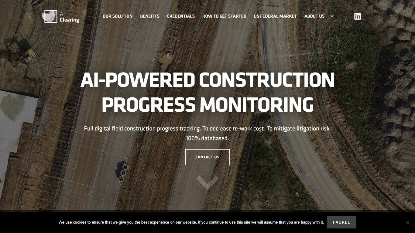

What is AI Clearing?
AI Clearing connects design and BIM data, schedules, budgets, drone imagery, mobile inputs, and ground surveys into one construction intelligence system for large-scale infrastructure and renewable energy projects. Contractors and asset owners use its CORE platform to see what is actually happening on site instead of relying on scattered spreadsheets and field notes.
A proprietary computer vision engine trained on millions of construction objects compares as-built conditions against design plans. The platform delivers progress and quality reports within 6 to 24 hours of data capture and includes Clara, a conversational assistant that answers project questions from live field data.
Where most construction software tracks tasks in spreadsheets, AI Clearing is built around visual site evidence. It reconciles drone imagery, schedules, and BIM models automatically, which makes it better suited to utility-scale earthworks and renewables than generic project management tools that lack geospatial progress verification.
General contractors, EPC firms, and asset owners working on renewables, transmission, wind, highways, pipelines, railways, and civil earthworks use AI Clearing for progress tracking, quality control, billing verification, and portfolio oversight. Customers include PCL Solar, baywa-re, and Rosendin Renewables.
Satlas
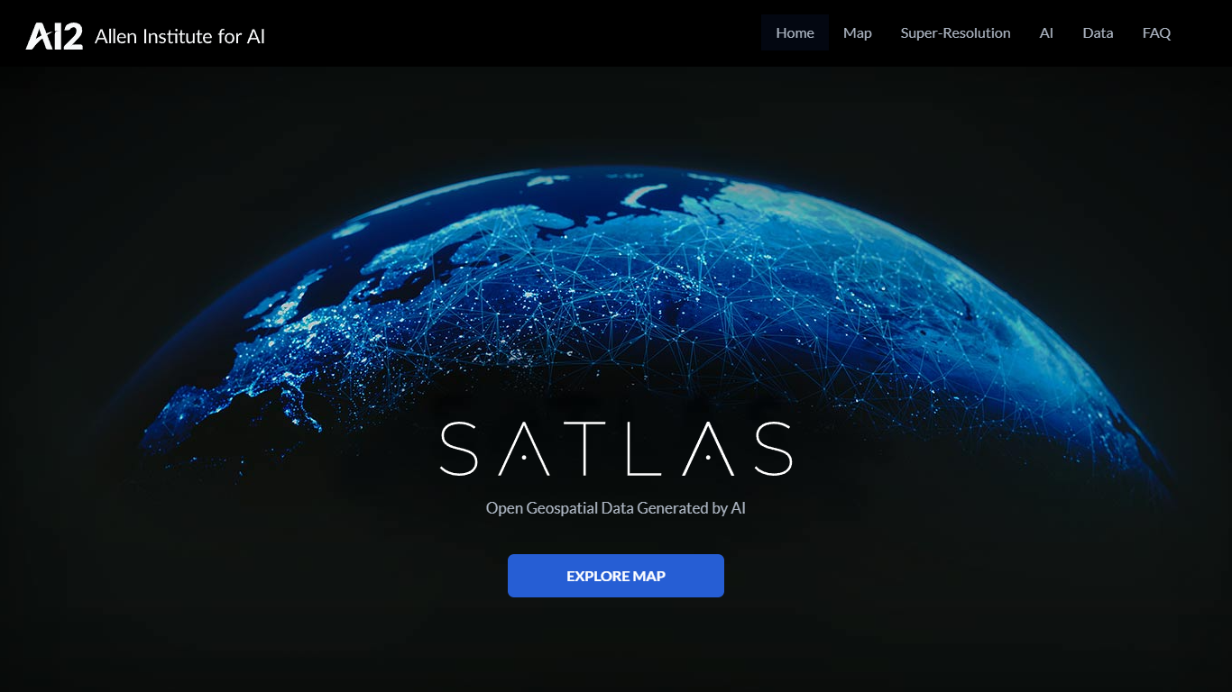
What is Satlas?
Satlas is an open geospatial platform from the Allen Institute for AI (Ai2) that uses computer vision models to analyze public Sentinel-2 satellite imagery and produce global, monthly-updated datasets. It lets researchers, environmental scientists, and geospatial analysts explore how the planet is changing through an interactive map covering marine infrastructure, renewable energy infrastructure, and tree cover.
The platform processes freely available satellite images with AI models pre-trained on SatlasPretrain, a remote sensing dataset with over 30 TB of imagery and 302 million labels. Users can compare side-by-side or timelapse views of offshore wind farms, solar installations, deforestation, and other land-use changes dating back to January 2016.
All geospatial data products, model weights, and training labels are freely downloadable under the ODC-BY license. Satlas also includes a super-resolution module that enhances low-resolution Sentinel-2 imagery to produce higher-detail global views, with open-source code available on GitHub.
AI Clearing Upvotes
Satlas Upvotes
AI Clearing Top Features
Unifies BIM, schedules, budgets, drone imagery, and mobile field inputs in one dashboard
Delivers automated progress reports within 6 to 24 hours after each data capture
Clara conversational assistant answers project questions from live site data in plain language
Integrates CAD/BIM models and Primavera P6 schedules into one construction intelligence system
3D digital twin supports inspection down to individual piles and structural elements
Training dataset includes 36,382,032 tagged construction objects from real project sites
First technology company globally certified to ISO 42001, alongside ISO 27001 and ISO 9001
Satlas Top Features
Interactive map with side-by-side and timelapse views of global environmental change since 2016
Monthly AI-generated datasets for marine infrastructure, renewable energy, and tree cover
Super-resolution module that enhances Sentinel-2 imagery to higher detail on a global scale
Freely downloadable GeoJSON and GeoTIFF data products under the ODC-BY open license
Open-source model weights, training data, and inference code on GitHub
AI Clearing Category
- Data Science
Satlas Category
- Data Science
AI Clearing Pricing Type
- Paid
Satlas Pricing Type
- Free