
Last updated 09-01-2026
Category:
Reviews:
Join thousands of AI enthusiasts in the World of AI!
Atlas.co
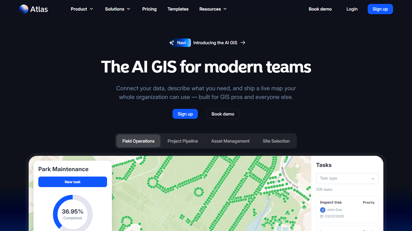
Atlas.co is a browser-based GIS where you connect spreadsheets, databases, and field data, then describe what you need in plain language. Its assistant Navi builds live maps, dashboards, and multi-step spatial workflows from conversation instead of desktop installs or long GIS request queues.
Under the hood it is a full GIS: real geometry, projections, and analysis on shapefiles, GeoJSON, GeoTIFF, KML, GPKG, and live PostgreSQL. Navi sits on top so GIS teams keep control while sales, operations, and leadership can explore location data on their own.
Teams in energy, infrastructure, real estate, and field operations use Atlas for site selection, asset tracking, project pipelines, and shared map views. Customers on the site include Bloomberg, Colliers, and Scatec.
Navi builds maps, dashboards, and multi-step workflows from a plain-language prompt
Pulls PostgreSQL, Google Sheets, CSVs, and 30+ geo formats onto one live-synced map
77+ workflow nodes with up to 200 scheduled runs per month on Team plans
Team plans add PostgreSQL, Smartsheet, and Airtable connections with daily sync
Real-time collaboration with comments, shared workspaces, and public map links
Free Starter tier includes up to 3 projects with no expiration
Navi lets non-GIS staff build maps from conversation without desktop GIS software
Supports shapefiles, GeoJSON, GeoTIFF, KML, GPKG, and live PostgreSQL connections
Browser-based workspaces with real-time collaboration and commenting
Scheduled workflow automation removes the need to host your own cron jobs or servers
Support is email-only on weekdays; phone and live chat are not available
Database connections and scheduled workflows require Team plan or higher
Free Starter limits Navi runs to 10 per month for heavy conversational use
Does Atlas.co have a free plan?
Yes. Atlas.co offers a free Starter plan with up to 3 projects, 3 editors, 1 GB storage, and limited monthly geocoding, workflow, and Navi runs. Paid Pro, Team, and Enterprise plans add more projects, storage, and automation.
What is Navi on Atlas.co?
Navi is Atlas.co's conversational assistant. You describe a map, dashboard, or spatial workflow and Navi builds it against your connected data. Every workflow stays editable on the canvas so GIS teams can inspect and adjust each step.
Do I need GIS experience to use Atlas.co?
No prior GIS expertise is required for everyday map building with Navi. Atlas.co still supports professional GIS work with real projections, geometry editing, and advanced spatial analysis for teams that need it.
What data sources does Atlas.co connect to?
Atlas.co imports geo files and spreadsheets directly and connects to PostgreSQL, Google Sheets, Smartsheet, Airtable, and other databases on higher plans. Supported formats include GeoJSON, KML, Shapefile, GeoTIFF, GPKG, and more than 30 others.
How much does Atlas.co Pro cost?
Atlas.co Pro is listed at $23 per user per month when billed annually, with up to 10 projects, 10 GB storage, and higher geocoding, workflow, and AI credit limits. Monthly billing is also available on the pricing page.
Can I share Atlas.co maps publicly?
Yes. Atlas.co projects are private by default, but you can publish a public link for stakeholders or colleagues without an Atlas account. Password-protected sharing is available on Team and Enterprise plans.
How do I contact Atlas.co support?
Atlas.co support is available by email at [email protected] on weekdays. The site states that phone and live chat support are not offered.